
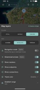
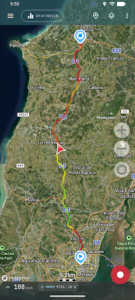
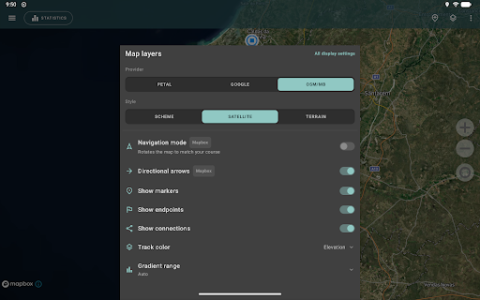
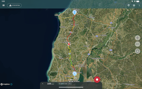
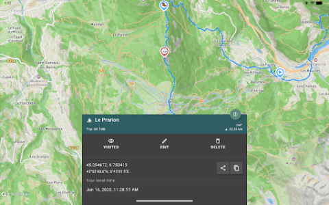
Geo Tracker is an application designed to record GPS tracks from your journeys, analyze trip statistics, and facilitate route sharing. It supports viewing tracks and surrounding areas using schemes from Open Street Maps or Google, alongside satellite images from Google or Mapbox. This app caters to users involved in outdoor activities or travel, enabling them to navigate back in unfamiliar areas, share routes with others, or utilize existing routes from GPX, KML, or KMZ files.
Recording and Analyzing GPS Tracks
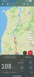
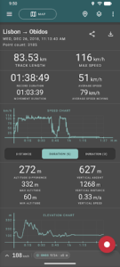
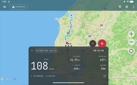
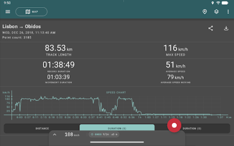
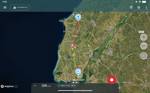
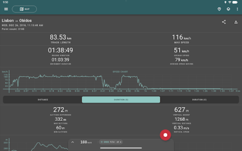
The app allows users to record GPS tracks of their trips, requiring only a GPS signal for this function and for calculating statistics. Internet connectivity is solely needed for downloading map images. Geo Tracker can operate in the background to record tracks, though this may necessitate additional system configuration on some devices, with instructions provided within the app. Power consumption in background mode is optimized, designed to last a full day of recording, and an economy mode is also available in the settings. The app provides detailed statistics including distance traveled, recording time, maximum and average speed, time and average speed in motion, minimum and maximum altitude, altitude difference, and vertical distance.
Map Viewing and Navigation
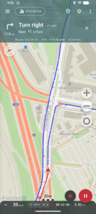
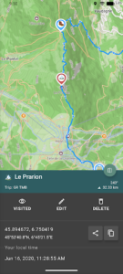
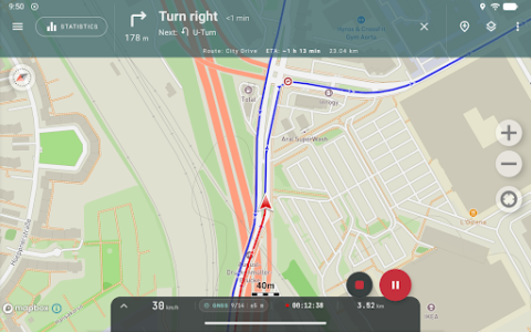
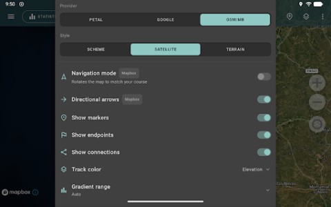
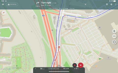
Users can view recorded tracks and the surrounding environment using various map sources. These include schemes from Open Street Maps or Google, as well as satellite imagery from Google or Mapbox, offering detailed maps worldwide. Map areas viewed within the application are saved to the device and remain accessible offline for a period, with this functionality performing best for OSM maps and Mapbox’s satellite images. For active navigation, a mode can be activated where the map automatically rotates to align with the direction of travel, simplifying guidance.
Route Management and Sharing
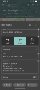
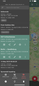
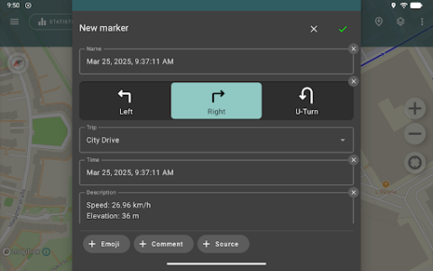
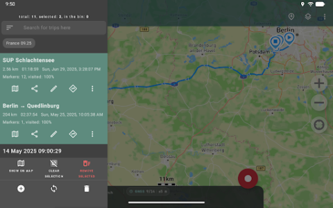
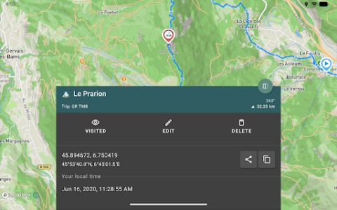
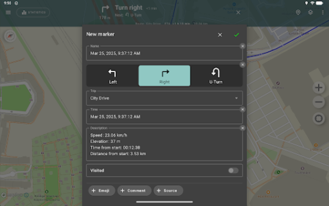
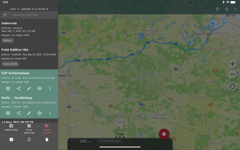
Beyond recording, Geo Tracker supports comprehensive route management. Users can share their recorded routes with others. The app also allows for the import and use of routes from GPX, KML, or KMZ files, enabling users to follow pre-planned or shared paths. It’s possible to mark important or interesting points along a route and to locate a specific point on the map by entering its coordinates. The app also facilitates sharing colorful screenshots of tracked accomplishments on social networks.
Recent Enhancements
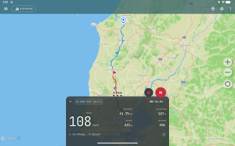
Version 5.7.1 introduced several updates, including an expanded recording panel that displays a large speed readout and a new location popover showing source, fix status, and satellite information. This version also added support for recording data from external Bluetooth GNSS receivers. Furthermore, the app now allows direct synchronization of data to cloud storage services like Google Drive or any other cloud storage supported by the device, removing the need for third-party apps for this function. Times displayed within the app are now shown in the local time zone where they were recorded.







Write a review